OUR WORK.
The purpose of the Collaborative Forest Landscape Restoration Program is to encourage the collaborative, science-based ecosystem restoration of priority forest landscapes and:
- encourage ecological, economic, and social sustainability;
- leverage local resources with national and private resources;
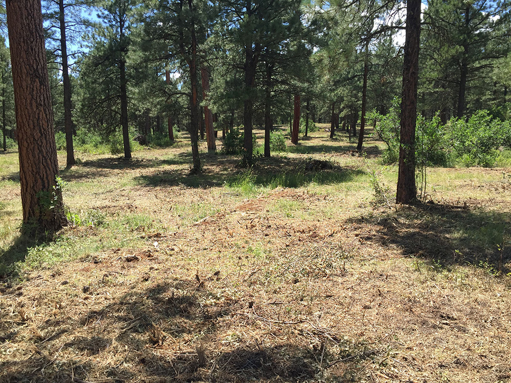
- facilitate the reduction of wildfire management costs, including through re-establishing natural fire regimes and reducing the risk of uncharacteristic wildfire;
- demonstrate the degree to which various ecological restoration techniques achieve ecological and watershed health objectives; and,
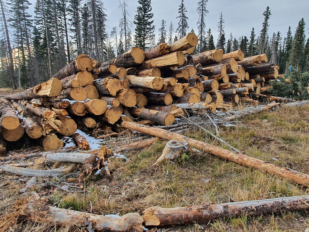
- encourage utilization of forest restoration by-products to offset treatment costs, to benefit local rural economies, to and improve forest health.
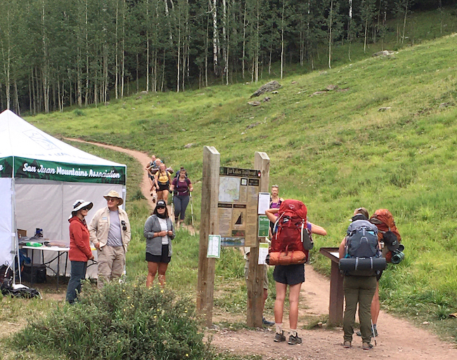
RECENT PROJECTS.
Southwest Colorado Focal Areas
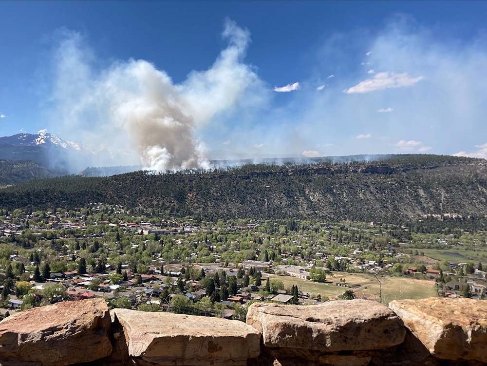
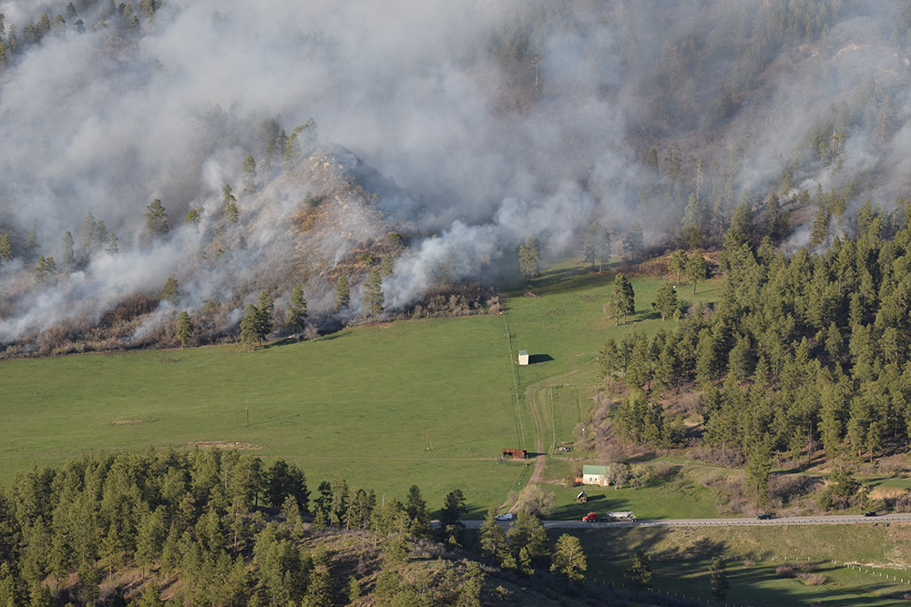
Communication, coordination, and leveraged funding are essential components of cross-boundary wildfire mitigation success. The Southwest Colorado focal areas facilitate strategic thinking, engagement, and coordination among practitioners committed to community wildfire risk reduction around the communities of Durango and Mancos, Colorado.
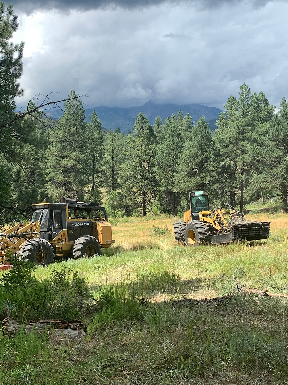
Both La Plata and Montezuma Counties have coordinated cross-boundary landscape-scale wildfire risk reduction efforts funded through the Colorado Department of Natural Resources (DNR) Colorado Strategic Wildfire Action Programs (COSWAP).
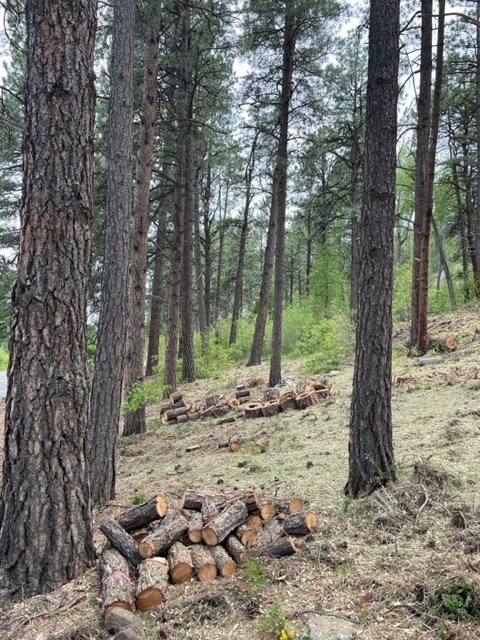
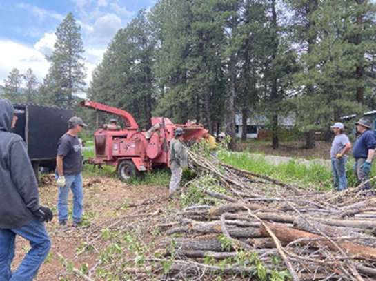
COSWAP projects focus on reducing wildfire risk to communities and critical infrastructure. COSWAP funds thinning, egress clearing, defensible space, and pile burning on private land that complements the Southwest Colorado Collaborative Forest Landscape Restoration Program. Both COSWAP projects were awarded in 2022 and extended in 2024.
Montezuma County and La Plata Counties revised their Community Wildfire Protection Plans (CWPPs) in FY23 outlining goals, strategies, and partner roles, and establishing a roadmap for collective efforts.
La Plata County Focal Area / Durango, Colorado Fireshed
The La Plata County, Durango, Colorado Fireshed focal area is the highest priority area identified in Southwest Colorado for coordinated wildfire risk reduction and restoration. Here, local, state, and national priorities align, and partners work collaboratively to achieve desired outcomes on the ground.
Several aspects of this focal area are vulnerable to the threat of wildfire, including a dense wildland urban interface (WUI), a bustling recreation and tourism-based economy, and the Florida River Municipal Watershed that provides water to over 20,000 residents in the City of Durango, Colorado.
Montezuma County Focal Area / Mancos, Colorado
The Montezuma County focal area encompasses the area around Mancos, to the north, including Chicken Creek, and the cross-boundary landscape between the towns of Mancos and Dolores, Colorado. The focal area was identified as a priority by the Dolores Watersheds Collaborative and Rocky Mountain Restoration Initiative Southwest due to high wildfire hazard and risk, WUI, critical water infrastructure, and recreation and wildlife values.
COSWAP efforts focus on private and Ute Mountain Ute Tribal lands and build on a larger and cohesive cross-boundary strategy to reduce wildfire risk, including major investments on other land ownerships by the San Juan National Forest, Tres Rios BLM, and the Colorado State Forest Service.
Additional Projects
OUR IMPACT.